

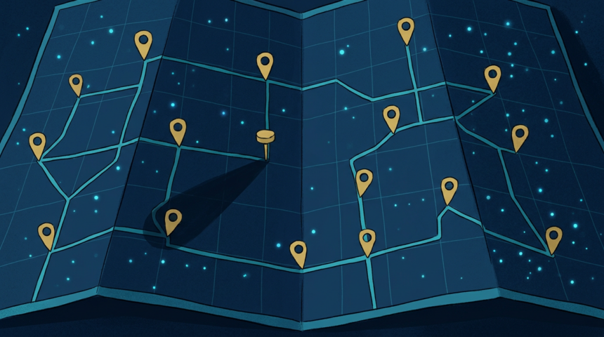
MapQuest has added a surveillance layer to its app that displays the locations of known outdoor license plate readers.
The company announced the feature on Bluesky. It covers cameras from Flock Safety alongside Motorola Solutions, Genetec, Axis Communications, Axon, Leonardo, Neology, Rekor, PlateSmart and others.
The practical effect is that a driver can check, before setting out, whether a route passes a reader. Neither Google Maps nor Apple Maps carries equivalent data.
Mapping what was already public
This is aggregation rather than revelation. Many police departments publish camera locations, and advocacy groups have assembled partial maps for years. What changes is the placement, inside an app people already use for directions.
Flock’s footprint has grown past 90,000 cameras in the US, and the company has faced sustained local opposition as agencies sign contracts. Residents in several cities have pressed councils to cancel agreements, and location transparency is usually the first thing they ask for.
The feature cuts both ways. Knowing where readers sit helps people avoid them, and it also tells anyone so inclined exactly which stretches of road lack coverage.
MapQuest has little to lose commercially. The brand survives largely on nostalgia, and a distinctive privacy-adjacent feature is a cheap way to be relevant again.