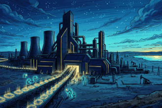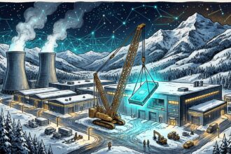


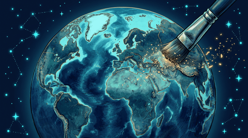
A nuclear plant in Iran, refugees at the US border, a bomb crater in Gaza: Google’s Earth AI image tool produced all three before the company pulled the feature less than a day after it launched on July 30.
The “create image” button let users type a prompt and receive photorealistic imagery built from Google’s own satellite and aerial data for the chosen location. Critics warned it invited geospatial misinformation, and demonstrations from the Digital Digging newsletter plus NPR tests showed how quickly the tool generated credible-looking fakes.
Google said it saw useful purposes from geospatial professionals but also screenshots appearing to violate its policies, and announced a rollback while stronger guardrails are built. Generated images never appeared in the main Earth view for other users and carried AI watermarks, but screenshots carried them out.
The episode touches Google Earth’s status as a reference layer for journalists and investigators. Bellingcat’s Jake Godin told NPR the tool sped up an existing process rather than creating a new one; altered satellite imagery, including an AI-modified image of a US Navy base in Bahrain that ran in Iranian media, predates the launch.
Google has tied the feature’s return to stronger guardrails such as SynthID markers and prompt refusal. Its signing of the EU code on labeling AI-generated content means any relaunch faces transparency obligations designed for exactly this kind of tool.